New York City (ville)
Copyright MarinePlan 2025
Monde couverture
New York City se trouve à état New York, États-Unis (United States).
Plans d’eau dans New York City
- Arthur Kill
- Bannister Bay
- Buttermilk Channel
- East Mill Basin
- East River
- Five Islands Bay
- Flushing Bay
- Goitsboig Basin
- Gulfport Reach
- Hackensack River
- Harlem River
- Hudson River
- Hutchinson River
- Jamaica Bay
- Kill Van Kull
- Latchmont Harbor
- Little Basin
- Mill Basin
- Morris Canal Basin
- Newark Bay
- Overpeck Creek
- Paerdegat Basin
- Passaic River
- Reynolds Channel
- Upper New York Bay
- Westchester Creek
Ports dans New York City
- Atlantic Basin
- Bay End Marine
- Brooklyn Yacht Club
- Captain Hooks Marina
- Cliffside Marina
- Deauville Marina
- DiMeglio Marina
- Diamond Point Yacht Club
- Elisabeth Channel
- Englewood Marina
- Erie Basin
- Gotham Marina
- Gowanus Bay
- Hudson Point Marina
- Hudson River Community Sailing
- Hudson River Yacht Club
- Lawrence Marina
- Liberty Landing Marina
- Manhattan Yacht Club
- Midget Squadron Yacht Club
- Moonbeam Gateway Marina
- Paerdegat Yacht Club
- Port Newark Channel
- Row New York Brooklyn
- Sea Travelers Marina
- Sebago Canoe Club
- Sheepshead Bay
- South Amboy Boat Club
- Tamaqua Marina
- West 79th Street Boat Basin
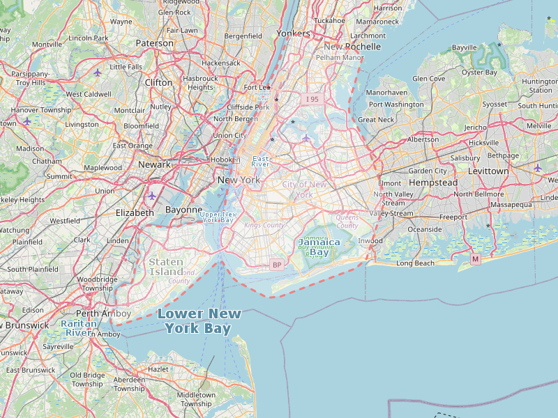
Carte de New York City
NavKid Android app