Copyright MarinePlan 2025
Värld täckning
Hamnar i Biscayne Bay
- ASR Construction Harbor
- Austral International Marina
- Bay Harbour Marina
- Bentley Bay Marina
- Chamonix Marina
- Cocoplum Yacht Club
- Crandon Marina
- Dinner Key Marina
- Grove Isle Marina
- Hurricane Harbor
- Marine Stadium Marina
- Matheson Hammock Marina
- Miamarina
- Miami Beach Marina
- No Name Harbor
- Pelican Harbor
Öar i Biscayne Bay
- Allison Island
- Bay Harbor Island
- Bay Harbor Island
- Belle Isle
- Billionaire Bunker Island
- Bird Key/Isla del Sol
- Biscaya Island
- Biscayne Island
- Biscayne Isle
- Biscayne Point
- Burlingame Island
- Crescent Island A
- Crescent Island B
- Di Lido Island
- Dinner Key
- Dodge Island
- Fisher Island
- Flagler Memorial Island
- Grove Isle
- Helkers Island
- Hibiscus Island
- Hobie's Island
- Isla Grande
- Jest Island
- La Gorce
- Legion Picnic Island
- Little Sandspur Island
- Luijo's Island
- Marine Stadium Island
- Morningside Picnic Island
- Nautilus
- Normandy Island
- Normandy Shores
- North Bay Island
- North Beach
- Osprey Island
- Pace Picnic Island
- Palm Island
- Pelican Harbor
- Pelican Island
- Quayside Island
- Rivo Alto Island
- San Marco Island
- San Marino Island
- Sandspur Island
- Star Island
- Stiltsville
- Sunset Island
- Tern Island
- Toucan Cay
- Treasure Island
- US Coast Guard Station Island
- Watson Island
- West Islands Nature Park
- West Islands Nature Park
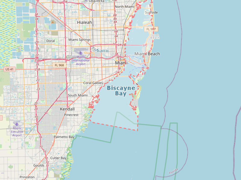
Karta av Biscayne Bay
NavKid Android app


